Climate and Economic Justice Screening Tool (CEJST)

Posted by
CAKE TeamOverview
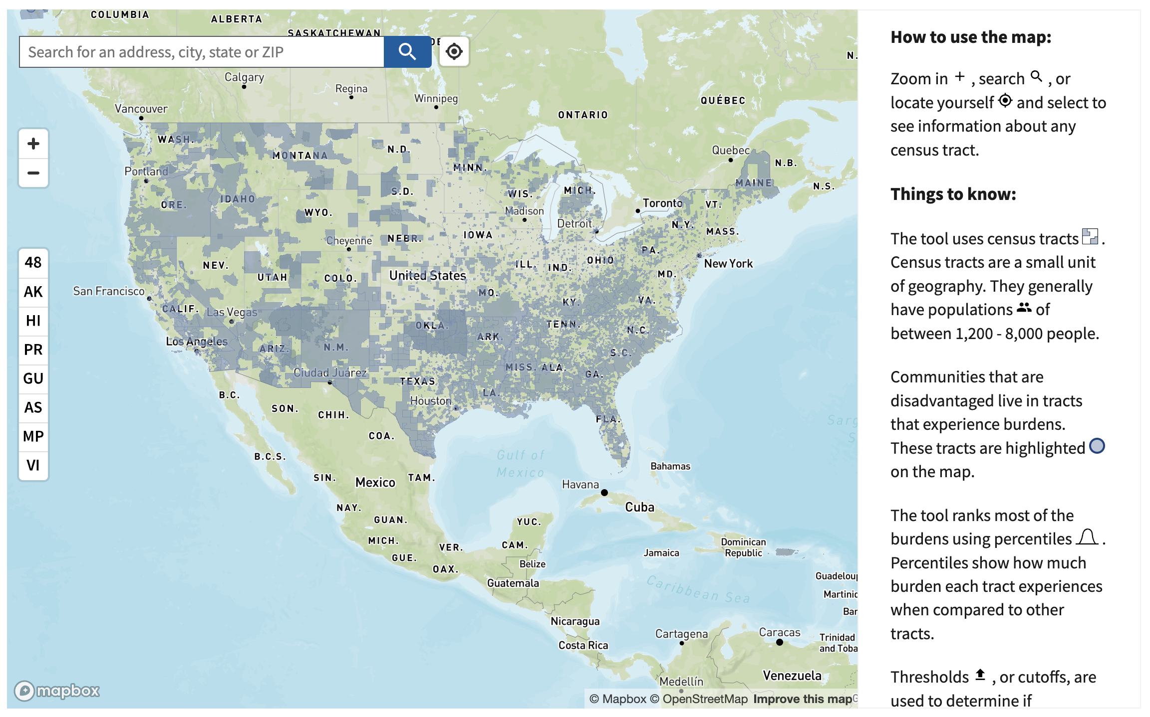
The Climate and Economic Justice Screening Tool is an interactive map and uses datasets that are indicators of burdens in eight categories: climate change, energy, health, housing, legacy pollution, transportation, water and wastewater, and workforce development. The tool uses this information to identify communities that are experiencing these burdens and are disadvantaged because they are overburdened and underserved.
The tool shows information about the burdens that communities experience in the form of census tracts, small units of geography, the boundaries of which are determined by the U.S. Census Bureau once every ten years. The tool ranks most of the burdens using percentiles. Percentiles show how much burden each tract experiences compared to other tracts. The tool also shows land within the boundaries of Federally Recognized Tribes and point locations for Alaska Native Villages.
The tool highlights disadvantaged communities across all 50 states, the District of Columbia, and the U.S. territories. Communities are considered disadvantaged:
- If they are in a census tract that meets the thresholds for at least one of the tool’s categories of burden, or
- If they are on land within the boundaries of Federally Recognized Tribes
Federal agencies use the tool to help identify disadvantaged communities that will benefit from programs included in the Justice40 Initiative. The Justice40 Initiative seeks to deliver 40% of the overall benefits of investments in climate, clean energy, and related areas to disadvantaged communities.
User can explore the interactive map and download the data with documentation and shapefile.


