Adaptation Phase
Awareness
Planning
Implementation
Sector Addressed
Conservation / Restoration
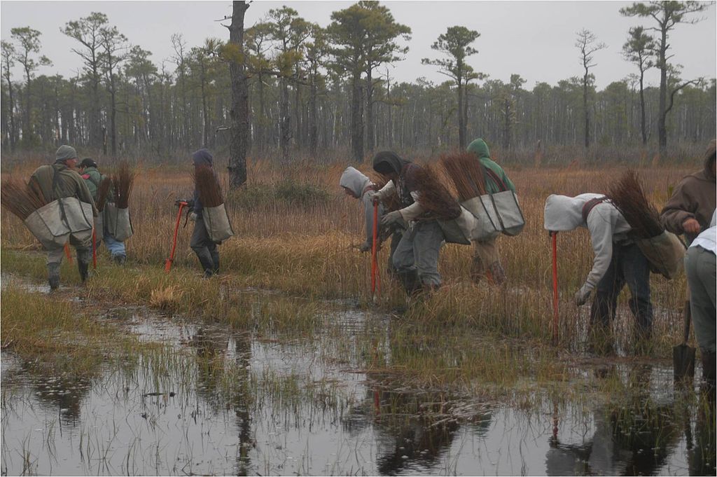
Photo attributed to U.S. Fish and Wildlife Service Headquarters. Incorporated here under the Creative Commons Attribution 2.0 Generic license. No endorsement by licensor implied.
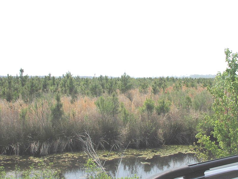
The Alligator River National Wildlife Refuge (NWR) is located in Dare and Hyde Counties, North Carolina, in the Albemarle-Pamlico Estuary. This climate change adaptation project is the result of a partnership between the North Carolina chapter of The Nature Conservancy (TNC) and the U.S. Fish and Wildlife Service (USFWS) to evaluate the effects of different adaptation strategies on areas impacted (or likely to be impacted) by sea level rise. This adaptive management study aims to determine how to make the shoreline more resilient to rising sea levels. The strategies include constructing oyster reefs to buffer shorelines from waves and storm surges, restoring the natural hydrologic regime and associated wetland systems, and planting salt- and flood-tolerant species.
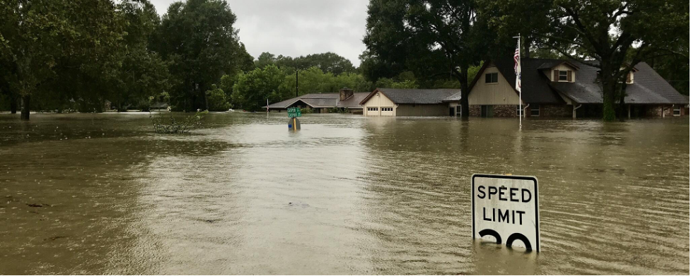
The Alligator River NWR encompasses about 154,000 acres on the Albemarle Peninsula in North Carolina. The primary climate change impact of concern to the refuge and the whole of the Albemarle Peninsula is sea level rise. In 2010, models showed that up to 469,000 acres of the peninsula could be flooded with a 12-inch rise in sea level, and nearly 750,000 acres could be flooded with a 20-inch rise. This vulnerability is exacerbated by human alterations to the system, including an extensive network of drainage ditches used for agriculture and forestry. Sea level rise will intensify other coastal problems such as shoreline erosion, saltwater intrusion, and biodiversity loss. TNC and USFWS worked together to test three adaptive management strategies at the Point Peter demonstration site on the refuge to determine which approaches would enhance the resilience of the ecosystem.
The three adaptation strategies included:
Several of the adaptation strategies required federal and state permits. Because the refuge is located in a wetland environment, USFWS had to acquire a permit through the Army Corps of Engineers. In addition, permits were required through the state’s Coastal Area Management Act (CAMA) for any activities happening in Pamlico Sound (i.e. oyster reef construction). This state permitting process caused some problems for the project because most of CAMA’s rules are very specific to shoreline development, but not to coastal restoration efforts. Because the materials used to construct the oyster reef did not conform to CAMA’s idea of fill material, the permit was elevated to a “major permit” and it turned into an eight-month process before it was finally approved.
This project was supported by a $1 million donation from Duke Energy, a $250,000 private donation, a Southeast Aquatic Resources Partnership Community-based Restoration Program grant, a NOAA Community-based Restoration Program grant, and several other smaller donations.
Marl (calcium carbonate fossil rock) was used to construct oyster reefs to buffer the shoreline, water control structures were strategically placed in areas to restore the region back to a sheet flow system, and test plots of salt-and flood-tolerant species were planted. Monitoring by two TNC staff members, with the assistance of several interns, took place for all three strategies:
The project managers engaged with local communities, fishermen, NGOs, state and federal agencies, and the general public to educate them on the project through public meetings, volunteer involvement, a sign at the demonstration project area for refuge visitors, and a fact sheet.
This project aimed to determine the adaptation strategies that would contribute to the resilience and stability of wetland ecosystems in the face of climate change and especially sea level rise. Anticipated successes included reductions in the rates of ecosystem change, shoreline erosion, saltwater intrusion, and land subsidence, and an increase in the growth and survivability of salt- and flood-tolerant plant and tree species. Highlights from the implemented project strategies include:
The project has since expanded to encompass Pocosin Lakes and Great Dismal Swamp, where restoration recommendations and strategies for sea level rise-impacted natural communities are a focus. To date, recommendations and plans for these locations include the development of hydrological models of groundwater and surface water interactions to inform water control structure designs as well as the creation of management conditions that reverse patterns of subsidence and create an established pattern of soil accretion and carbon sequestration in the areas. TNC is spearheading efforts in Pocosin Lakes.
Next steps for the project include:
Gregg, R.M. and Braddock, K.N. (2021). Alligator River National Wildlife Refuge/Albemarle-Pamlico Peninsula Climate Adaptation Project [Case study on a project of The Nature Conservancy - Nags Head Woods and the U.S. Fish and Wildlife Service - North Carolina]. Version 2.0. Product of EcoAdapt's State of Adaptation Program. Retrieved from CAKE: https://www.cakex.org/case-studies/alligator-river-national-wildlife-refugealbemarle-pamlico-peninsula-climate-adaptation-project (Last updated April 2021)