Photo attributed to Lee Cannon. Incorporated here under the Creative Commons Attribution-Share Alike 2.0 Generic license. No endorsement by licensor implied.
Project Summary
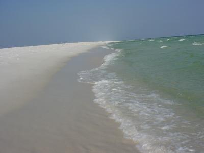
Somerset County received a grant through Maryland’s CoastSmart Communities Initiative grant program to assess the county’s vulnerability to climate change and develop a plan of action to prepare for those impacts. The county reviewed existing plans, development codes, regulations, and laws to ensure the necessary policies and codes were prepared for the reality of the county’s climate future, specifically addressing sea level rise and coastal storms. The county developed the Somerset County, Maryland: Rising Sea Level Guidance document, which included a vulnerability assessment as well as recommendations on how to adapt the county’s management and codes to best prepare for climate change.
Background
In 2009, Maryland launched the CoastSmart Communities Initiative to provide a support center for local governments dealing with the impacts of climate change. The CoastSmart Initiative undertook three initial projects in Somerset, Worchester, and Dorchester counties, some of Maryland’s most at-risk coastline areas. The CoastSmart program provided financial support for the county’s adaptation planning processes through the Coastal Communities Initiative (CCI) grant program, as well as much needed technical support.
Implementation
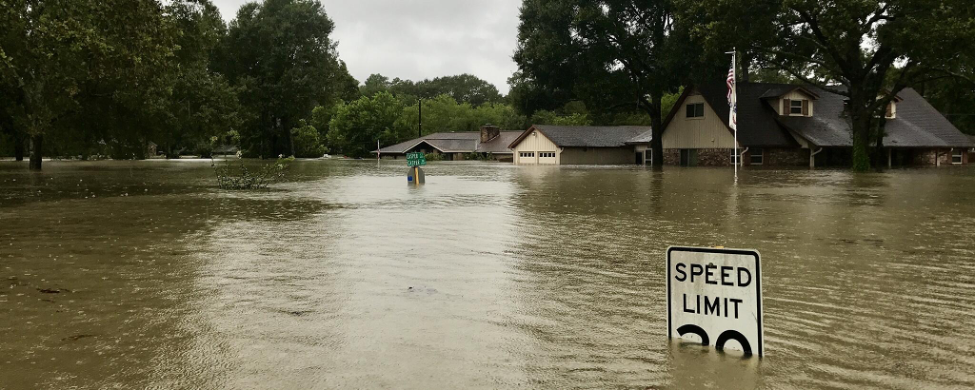
The county conducted a vulnerability assessment to consider how sea level rise, coastal storms, and flooding will likely impact the county’s population, housing, infrastructure, and critical facilities. Based on the analysis, the county proposed a number of changes to existing planning and regulatory policies including the Zoning Ordinances, Floodplain Management Ordinance/Building Code, Subdivision Regulations, Comprehensive Plan, and Hazard Mitigation Plan.
The main recommendations are summarized below:
- Coordinate floodplain management ordinance with flood requirements of building codes by requiring the lowest floor of new and substantially improved buildings to be on higher foundations (freeboards)
- Adopt an ‘adjacent flood zone’ or ‘floodplain planning zone,’ which will add areas anticipated to be inundated based on 2050 scenarios to FEMA-delineated Hazard Area
- Update requirements for onsite septic systems, anticipating changes in flooding and groundwater conditions
- Within Comprehensive Plan:
- Incorporate existing flood hazard areas and 2050 inundation areas into the plan
- Encourage relocation of threatened structures and anticipate some buildings will need to be relocated or abandoned
- Require buffers for streams and tributaries and conservation easements when possible
- Incorporate future conditions into planning for roads, streets, and incidental structures
The recommendations encourage low-impact development along coastlines and incorporation of future conditions into the design and construction of new infrastructure, as well as management and zoning codes. While the plan itself is not an implementation document, the county has since taken steps to achieve the programs, projects, and desired results recommended.
Outcomes and Conclusions
Since the Somerset County, Maryland: Rising Sea Level Guidance document was written in 2008, the county has included the majority of the recommendations outlined in the plan into their management codes and plans. Somerset’s population, housing, infrastructure, and critical facilities are better prepared for future climate conditions and impacts as a result.
Citation
Hitt, J. (2021). Sea Level Rise Guidance for Somerset County, Maryland [Case study on a project of the Maryland Chesapeake & Coastal Program]. Version 2.0. Product of EcoAdapt's State of Adaptation Program. Retrieved from CAKE: https://www.cakex.org/case-studies/sea-level-rise-guidance-somerset-county-maryland (Last updated October 2021)
Project Contacts